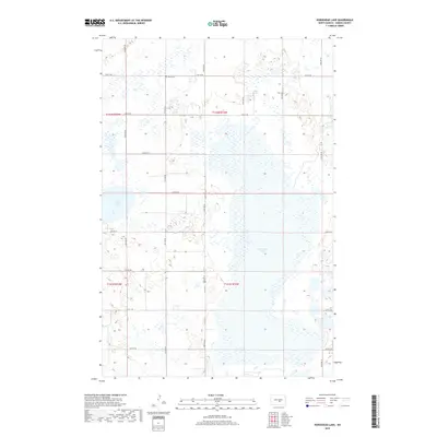
2018 Map of Horsehead Lake
USGS Topo · Published 2018About this map
Horsehead Lake dominates the central and eastern portions of this North Dakota landscape, its broad basin surrounded by the characteristic prairie pothole topography of Kidder County. The water levels and marshy margins of this lake and nearby Cherry Lake define the local geography, influencing the placement of the township grid roads that navigate around the depressions. In the northern reaches of the map, the Kleve Cem stands as a quiet marker of the area's pioneer heritage, located just south of 21st St SE. The map captures the agricultural organization of the territory into Township 141 and 142 North, where a network of section line roads including 31st Ave SE and 24th St SE provide access to the rural farmsteads and wetlands that characterize this part of the northern plains.
Find a feature on this map
21 named features on this map. Tap any name to fly to it.
Don’t see what you’re looking for? This feature index may not catch every label — zoom into the map to look around manually.
Map Details
Editions of this 2018 Horsehead Lake Map
This is the sole edition of this map. No revisions or reprints were ever made.
Other maps of this area

1952 · Tappen North
USGS Topo · 1:24,000

1952 · Steele NE
USGS Topo · 1:24,000

1952 · Steele NW
USGS Topo · 1:24,000

1952 · New Rockford
USGS Topo · 1:250,000

1953 · Jamestown
USGS Topo · 1:250,000

1956 · New Rockford
USGS Topo · 1:250,000

1956 · Jamestown
USGS Topo · 1:250,000

1971 · New Rockford
USGS Topo · 1:250,000

1972 · Tuttle
USGS Topo · 1:24,000

1972 · Kunkel Lake
USGS Topo · 1:24,000