
1972 Map of Tuttle
USGS Topo · Published 1974About this map
Tuttle serves as the primary rail settlement on this Kidder County landscape, situated along the Burlington Northern line. The surrounding terrain is defined by a dense network of prairie potholes and wetlands, including Lake Josephine and the National Waterfowl Production Area. This 1972 survey records the township structure of K A P O O S H K I, S T E W A R T, and A T W O O D, providing a clear look at rural land use and public infrastructure during the early 1970s.
Find a feature on this map
17 named features on this map. Tap any name to fly to it.
Don’t see what you’re looking for? This feature index may not catch every label — zoom into the map to look around manually.
Map Details
Editions of this 1972 Tuttle Map
This is the sole edition of this map. No revisions or reprints were ever made.
Other maps of this area

1952 · New Rockford
USGS Topo · 1:250,000

1954 · McClusky
USGS Topo · 1:250,000

1956 · New Rockford
USGS Topo · 1:250,000

1958 · McClusky
USGS Topo · 1:250,000

1971 · New Rockford
USGS Topo · 1:250,000
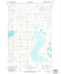
1972 · Horsehead Lake
USGS Topo · 1:24,000

1972 · Robinson
USGS Topo · 1:24,000
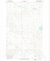
1972 · Tuttle SW
USGS Topo · 1:24,000
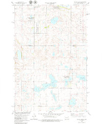
1978 · Willow Lake
USGS Topo · 1:24,000
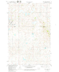
1978 · Senior Lake
USGS Topo · 1:24,000