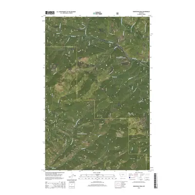
2014 Map of Horsehead Peak
USGS Topo · Published 2014About this map
Old Town sits at the heart of this drainage network within the Lolo National Forest, situated along the winding course of Ninemile Cr. This 2014 survey documents a landscape defined by the intersection of Missoula and Mineral counties, where steep timbered ridges descend into narrow creek bottoms. The northern portion of the map is dominated by the Ninemile valley, accessible via routes such as the W Side Ninemile Rd and Upper Ninemile Rd. To the south, the terrain rises sharply toward Ninemile Divide, a significant topographical barrier separating the northern watersheds from southern drainages like Deep Cr. High points such as Horsehead Peak and Lookout Mtn provide the primary landmarks for this portion of the northern Rockies, overseeing a complex system of namesake gulches and creeks, including Malley Gulch and Mattie V Cr.
Find a feature on this map
36 named features on this map. Tap any name to fly to it.
Don’t see what you’re looking for? This feature index may not catch every label — zoom into the map to look around manually.
Map Details
Editions of this 2014 Horsehead Peak Map
This is the sole edition of this map. No revisions or reprints were ever made.
Other maps of this area

1956 · Wallace
USGS Topo · 1:250,000

1959 · Tarkio
USGS Topo · 1:62,500

1959 · Perma
USGS Topo · 1:62,500

1959 · Plains
USGS Topo · 1:62,500

1960 · Wallace
USGS Topo · 1:250,000

1960 · Superior
USGS Topo · 1:62,500

1983 · Horsehead Peak
USGS Topo · 1:24,000
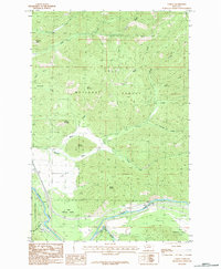
1983 · Tarkio
USGS Topo · 1:24,000
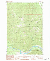
1983 · Stark South
USGS Topo · 1:24,000

1984 · Stark North
USGS Topo · 1:24,000