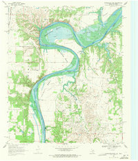
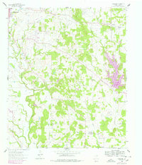
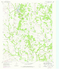
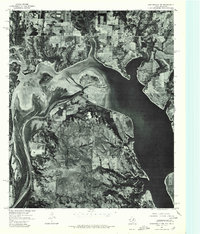
1968 Map of Horseshoe Bend
USGS Topo · Published 1971This historical map portrays the area of Horseshoe Bend in 1968, primarily covering Cooke County as well as portions of Oklahoma. Featuring a scale of 1:24000, this map provides a highly detailed snapshot of the terrain, roads, buildings, counties, and historical landmarks in the Horseshoe Bend region at the time. Published in 1971, it is one of 2 known editions of this map due to revisions or reprints.
Find a feature on this map
26 named features on this map. Tap any name to fly to it.
Don’t see what you’re looking for? This feature index may not catch every label — zoom into the map to look around manually.
Map Details
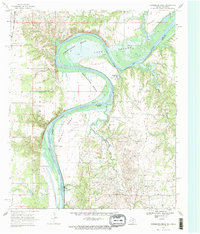
Editions of this 1968 Horseshoe Bend Map
2 editions found
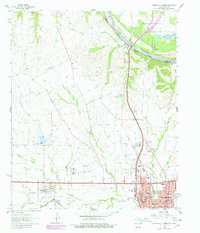
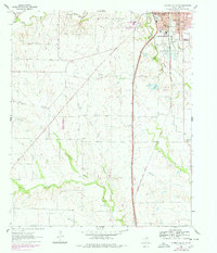
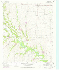
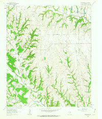
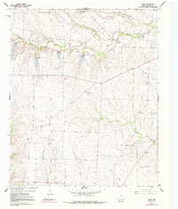
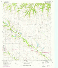
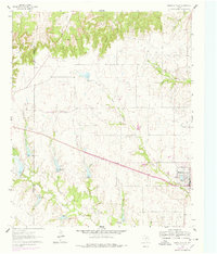
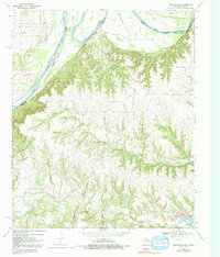
Historical Maps of Walnut Bend Through Time
12 maps found
1960 Gainesville North
Cooke County, TX
1960 Gainesville South
Cooke County, TX
1960 Woodbine
Cooke County, TX
1961 Era
Cooke County, TX
1961 Freemound
Cooke County, TX
1961 Hood
Cooke County, TX
1961 Mountain Springs
Cooke County, TX
1961 Muenster East
Cooke County, TX
1961 Muenster West
Cooke County, TX
1968 Horseshoe Bend
Cooke County, TX
1968 Marysville
Cooke County, TX
1976 Gordonville NW
Cooke County, TX