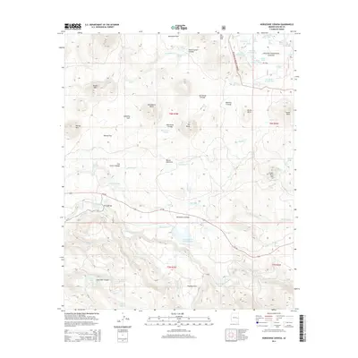
2014 Map of Horseshoe Cienega
USGS Topo · Published 2014About this map
Horseshoe Cienega and its surrounding wetlands form a central focus of this landscape in the Apache National Forest. The area is characterized by numerous spring-fed marshlands, or cienegas, including Yellow Jacket Cienega, Wild Horse Cienega, and Mattress Cienega, which suggest a long history of water management for livestock in this high-elevation region. Evidence of past ranching activity is preserved in labels like Old Corral Cienega and the numerous stock tanks such as Admen Tank and CC Tank Number One.
Find a feature on this map
79 named features on this map. Tap any name to fly to it.
Don’t see what you’re looking for? This feature index may not catch every label — zoom into the map to look around manually.
Map Details
Editions of this 2014 Horseshoe Cienega Map
This is the sole edition of this map. No revisions or reprints were ever made.
Other maps of this area

1886 · St Johns
USGS Topo · 1:250,000

1892 · St Johns
USGS Topo · 1:250,000

1954 · Clifton
USGS Topo · 1:250,000

1954 · Saint Johns
USGS Topo · 1:250,000

1957 · Clifton
USGS Topo · 1:250,000

1957 · Saint Johns
USGS Topo · 1:250,000

1958 · Clifton
USGS Topo · 1:250,000

1958 · Saint Johns
USGS Topo · 1:250,000

1961 · McNary
USGS Topo · 1:62,500

1962 · Clifton
USGS Topo · 1:250,000