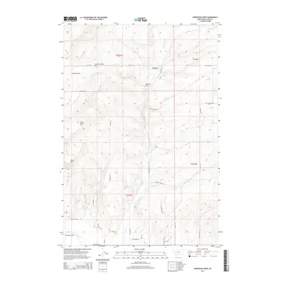
2014 Map of Horseshoe Creek
USGS Topo · Published 2014About this map
Menard sits at a geographic junction where the rugged Horseshoe Hills meet a network of descending creek drainages in Gallatin County. This 2014 survey documents a landscape defined by its high-country terrain and scattered historic markers, including Dry Creek Cem and Fly Cem located near the southern reaches of the map. The drainage patterns are intricate, with Menard Cr, Dry Cr, and Little Horseshoe Cr carving through the northern elevations, while the East Gallatin River clips the southwestern corner near Spaulding Bridge.
Find a feature on this map
37 named features on this map. Tap any name to fly to it.
Don’t see what you’re looking for? This feature index may not catch every label — zoom into the map to look around manually.
Map Details
Editions of this 2014 Horseshoe Creek Map
This is the sole edition of this map. No revisions or reprints were ever made.
Other maps of this area

1886 · Fort Logan
USGS Topo · 1:250,000

1888 · Three Forks
USGS Topo · 1:250,000

1894 · Three Forks
USGS Topo · 1:250,000

1895 · Three Forks
USGS Topo · 1:250,000

1947 · Bozeman
USGS Topo · 1:250,000

1948 · Bozeman
USGS Topo · 1:250,000

1948 · White Sulphur Springs
USGS Topo · 1:250,000

1949 · Manhattan
USGS Topo · 1:62,500

1949 · Maudlow
USGS Topo · 1:62,500

1949 · Toston
USGS Topo · 1:62,500