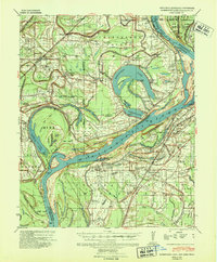
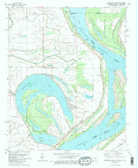
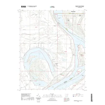
1939 Map of Horseshoe Lake
USGS Topo · Published 1941About this map
The Mississippi River meanders through this delta landscape, defining the fluid borders of Arkansas and Mississippi through a complex system of chutes, bars, and cut-offs. The prominent oxbow of Horseshoe Lake serves as a focal point for a region dominated by large-scale agriculture, including the Taylor Lake Belle Meade Plantation and the Goyoke Lbr Co Plantation. The intricate network of bayous like Fifteen Mile Bayou and Fish Bayou illustrates the natural drainage patterns of the bottomlands before extensive modern modification.
Find a feature on this map
123 named features on this map. Tap any name to fly to it.
Don’t see what you’re looking for? This feature index may not catch every label — zoom into the map to look around manually.
Map Details
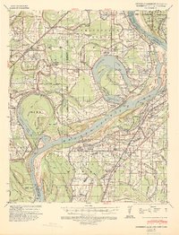
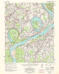
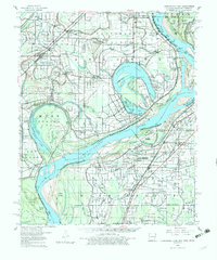
Editions of this 1939 Horseshoe Lake Map
2 editions found
Historical Maps of Memphis Through Time
10 maps found

1931 Horseshoe Lake
Crittenden County, AR
1939 Horseshoe Lake
Crittenden County, AR
1954 Horseshoe Lake
Crittenden County, AR
1960 Horseshoe Lake
Crittenden County, AR
1981 Horseshoe Lake
Crittenden County, AR
2011 Horseshoe Lake
Crittenden County, AR
2014 Horseshoe Lake
Crittenden County, AR
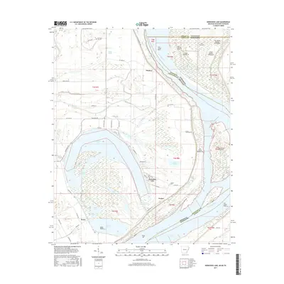
2017 Horseshoe Lake
Crittenden County, AR
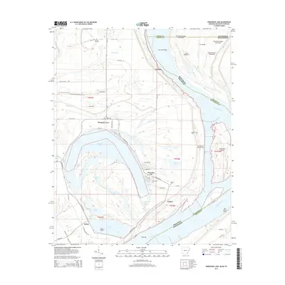
2020 Horseshoe Lake
Crittenden County, AR
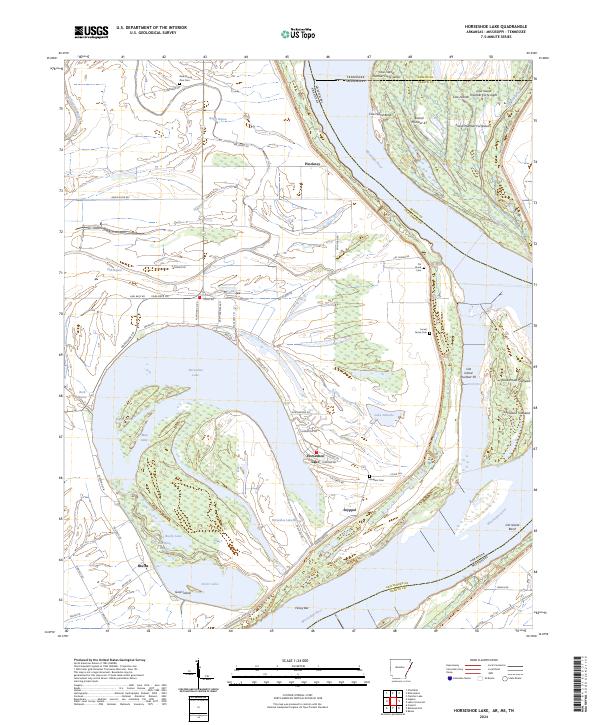
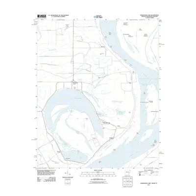
2024 Horseshoe Lake
Crittenden County, AR