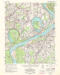
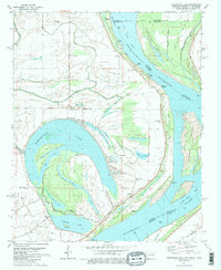
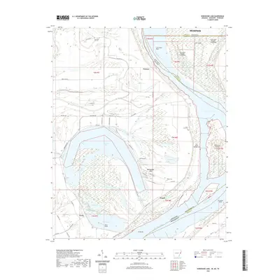
1954 Map of Horseshoe Lake
USGS Topo · Published 1961About this map
The Mississippi River meanders through this mid-century survey, defining the complex borderlands where Arkansas, Mississippi, and Tennessee converge. The landscape is characterized by its alluvial history, featuring prominent oxbows like Horseshoe Lake and Council Lake that suggest the river's ancient paths. This fertile delta region was a powerhouse of agricultural production, evidenced by the numerous named properties such as Belle Meade Plantation, Green River Plantation, and Tucker Plantation.
Find a feature on this map
143 named features on this map. Tap any name to fly to it.
Don’t see what you’re looking for? This feature index may not catch every label — zoom into the map to look around manually.
Map Details
Editions of this 1954 Horseshoe Lake Map
2 editions found
Historical Maps of Memphis Through Time
10 maps found

1931 Horseshoe Lake
Crittenden County, AR
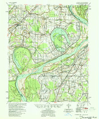
1939 Horseshoe Lake
Crittenden County, AR
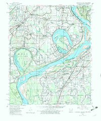
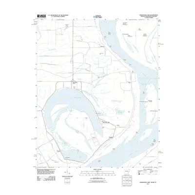
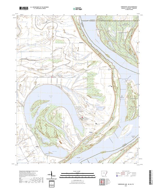
1954 Horseshoe Lake
Crittenden County, AR
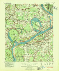
1960 Horseshoe Lake
Crittenden County, AR
1981 Horseshoe Lake
Crittenden County, AR
2011 Horseshoe Lake
Crittenden County, AR
2014 Horseshoe Lake
Crittenden County, AR
2017 Horseshoe Lake
Crittenden County, AR
2020 Horseshoe Lake
Crittenden County, AR
2024 Horseshoe Lake
Crittenden County, AR