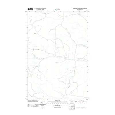
2011 Map of Horsethief Coulee West
USGS Topo · Published 2011About this map
Flat Mountain dominates the western landscape of this Fergus County region, where the high plains break into a network of drainages and coulees. The hydrography of the area is defined by the North Fork McDonald Creek, which winds eastward across the center of the sheet, joined by smaller tributaries like Parr Creek and Alkali Creek. The northern reaches are marked by the rugged descent of Whisky Gulch toward Chippewa Creek. This 2011 survey documents a rural landscape where movement is dictated by ranch roads and historical corridors, such as Gilt Edge Rd and Redding Ranch Rd. The absence of dense settlements highlights the ranching character of the land, preserving the original spatial relationships between natural landmarks and the legacy road network that connects isolated homesteads across the central Montana prairie.
Find a feature on this map
15 named features on this map. Tap any name to fly to it.
Don’t see what you’re looking for? This feature index may not catch every label — zoom into the map to look around manually.
Map Details
Editions of this 2011 Horsethief Coulee West Map
This is the sole edition of this map. No revisions or reprints were ever made.
Other maps of this area

1889 · Big Snowy Mountain
USGS Topo · 1:250,000

1893 · Big Snowy Mountain
USGS Topo · 1:250,000

1941 · Lewistown
USGS Topo · 1:62,500

1941 · Judith Peak
USGS Topo · 1:62,500

1944 · Lewistown
USGS Topo · 1:62,500

1944 · Judith Peak
USGS Topo · 1:62,500

1954 · Roundup
USGS Topo · 1:250,000

1954 · Lewistown
USGS Topo · 1:250,000

1958 · Roundup
USGS Topo · 1:250,000

1959 · Lewistown
USGS Topo · 1:250,000