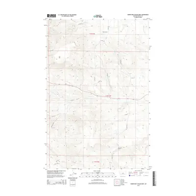
2014 Map of Horsethief Coulee West
USGS Topo · Published 2014About this map
Horsethief Coulee defines the southern drainage patterns of this Fergus County landscape, where the high elevation of Flat Mtn overlooks a network of named tracks and creek beds. The cartography reveals a transition from the rugged northern terrain near Whisky Gulch and Whisky Cr to the more open reaches in the south. The area is marked by numerous family-named roads and historic routes, including the Gilt Edge - Stage and Wiggins Trail Ln, which suggest the path of early travel and commerce through this part of Montana.
Find a feature on this map
25 named features on this map. Tap any name to fly to it.
Don’t see what you’re looking for? This feature index may not catch every label — zoom into the map to look around manually.
Map Details
Editions of this 2014 Horsethief Coulee West Map
This is the sole edition of this map. No revisions or reprints were ever made.
Other maps of this area

1889 · Big Snowy Mountain
USGS Topo · 1:250,000

1893 · Big Snowy Mountain
USGS Topo · 1:250,000

1941 · Lewistown
USGS Topo · 1:62,500

1941 · Judith Peak
USGS Topo · 1:62,500

1944 · Lewistown
USGS Topo · 1:62,500

1944 · Judith Peak
USGS Topo · 1:62,500

1954 · Roundup
USGS Topo · 1:250,000

1954 · Lewistown
USGS Topo · 1:250,000

1958 · Roundup
USGS Topo · 1:250,000

1959 · Lewistown
USGS Topo · 1:250,000