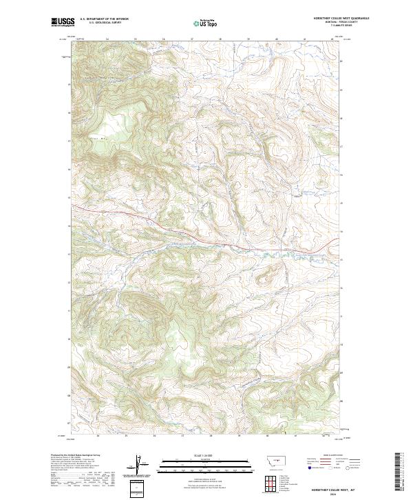
2024 Map of Horsethief Coulee West
USGS Topo · Published 2024About this map
The Judith Mountains dominate the northwestern corner of this landscape, rising above the surrounding central Montana prairie. This 2024 survey documents a rugged ranching and mining terrain where historic transportation routes like the Gilt-Edge Stage Rd and Gilt Edge-Stage Rd follow the contours of the land, hinting at the area's late 19th-century gold mining heritage centered around the nearby Gilt Edge district.
Find a feature on this map
27 named features on this map. Tap any name to fly to it.
Don’t see what you’re looking for? This feature index may not catch every label — zoom into the map to look around manually.
Map Details
Editions of this 2024 Horsethief Coulee West Map
This is the sole edition of this map. No revisions or reprints were ever made.
Other maps of this area

1889 · Big Snowy Mountain
USGS Topo · 1:250,000

1893 · Big Snowy Mountain
USGS Topo · 1:250,000

1941 · Lewistown
USGS Topo · 1:62,500

1941 · Judith Peak
USGS Topo · 1:62,500

1944 · Lewistown
USGS Topo · 1:62,500

1944 · Judith Peak
USGS Topo · 1:62,500

1954 · Roundup
USGS Topo · 1:250,000

1954 · Lewistown
USGS Topo · 1:250,000

1958 · Roundup
USGS Topo · 1:250,000

1959 · Lewistown
USGS Topo · 1:250,000