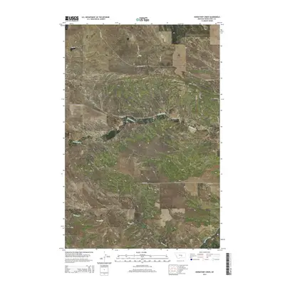
2014 Map of Horsethief Creek
USGS Topo · Published 2014About this map
Horsethief Creek meanders through this section of Musselshell County, defining a landscape shaped by seasonal drainage and local resource infrastructure. In this 2014 snapshot, the area shows a distinct transition between agricultural grazing land and industrial activity, marked significantly by Oil Field Rd. This road, alongside the presence of the Naderman Ditch in the southeast corner, highlights the dual importance of water management and petroleum extraction in this part of Montana.
Find a feature on this map
23 named features on this map. Tap any name to fly to it.
Don’t see what you’re looking for? This feature index may not catch every label — zoom into the map to look around manually.
Map Details
Editions of this 2014 Horsethief Creek Map
This is the sole edition of this map. No revisions or reprints were ever made.
Other maps of this area

1954 · Roundup
USGS Topo · 1:250,000

1958 · Roundup
USGS Topo · 1:250,000

1979 · Roundup
USGS Topo · 1:100,000

1979 · Bundy
USGS Topo · 1:24,000

1979 · Timber Buttes South
USGS Topo · 1:24,000

1979 · Harper Coulee
USGS Topo · 1:24,000

1979 · Elso
USGS Topo · 1:24,000

1979 · Horsethief Creek
USGS Topo · 1:24,000

1979 · Roundup
USGS Topo · 1:24,000

1986 · Lake Mason SE
USGS Topo · 1:24,000