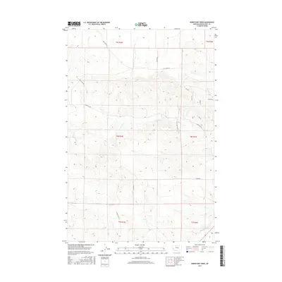
2017 Map of Horsethief Creek
USGS Topo · Published 2017About this map
Horsethief Cr and Currant Cr carve through this section of Musselshell County, defining a landscape where ranching infrastructure meets modern resource extraction. The presence of Oil Field Rd in the northern townships highlights the industrial footprint in this part of Montana, while an extensive network of local routes like Horsethief Rd and Golf Course Rd connects the rolling terrain. Water management is evidenced by the Naderman Ditch in the southeast corner, a vital piece of irrigation history in an otherwise arid drainage basin. Smaller seasonal waterways such as Cat Cr and Alkali Cr further detail the complex hydrography. The map also documents specific land divisions across several townships, including t8n r24e and t8n r25e, providing a clear record of property and road development as it stood in the mid-2010s.
Find a feature on this map
22 named features on this map. Tap any name to fly to it.
Don’t see what you’re looking for? This feature index may not catch every label — zoom into the map to look around manually.
Map Details
Editions of this 2017 Horsethief Creek Map
This is the sole edition of this map. No revisions or reprints were ever made.
Other maps of this area

1954 · Roundup
USGS Topo · 1:250,000

1958 · Roundup
USGS Topo · 1:250,000

1979 · Roundup
USGS Topo · 1:100,000

1979 · Bundy
USGS Topo · 1:24,000

1979 · Timber Buttes South
USGS Topo · 1:24,000

1979 · Harper Coulee
USGS Topo · 1:24,000

1979 · Elso
USGS Topo · 1:24,000

1979 · Horsethief Creek
USGS Topo · 1:24,000

1979 · Roundup
USGS Topo · 1:24,000

1986 · Lake Mason SE
USGS Topo · 1:24,000