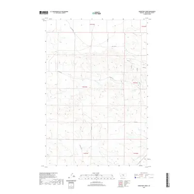
2020 Map of Horsethief Creek
USGS Topo · Published 2020About this map
Horsethief Cr and Currant Cr define the drainage patterns across this section of Musselshell County, where the landscape is marked by the transition between central Montana ranching lands and local resource extraction. The presence of Oil Field Rd in the northern portion of the quadrangle suggests the enduring role of the petroleum industry in the region's economy during the early 21st century. In the southeast, the Naderman Ditch provides evidence of water management and irrigation efforts necessary for agriculture in this semi-arid environment. The local road network, including Stanley Crk Rd and Johnson Rd, illustrates a sparse settlement pattern typical of the Big Snowy Mountains foothills. This U.S. Geological Survey topographic study documents the township and range divisions across several sections, including T8N R24E and T7N R25E, serving as a modern record of land use and seasonal watercourses like Alkali Cr and Cat Cr.
Find a feature on this map
21 named features on this map. Tap any name to fly to it.
Don’t see what you’re looking for? This feature index may not catch every label — zoom into the map to look around manually.
Map Details
Editions of this 2020 Horsethief Creek Map
This is the sole edition of this map. No revisions or reprints were ever made.
Other maps of this area

1954 · Roundup
USGS Topo · 1:250,000

1958 · Roundup
USGS Topo · 1:250,000

1979 · Roundup
USGS Topo · 1:100,000

1979 · Bundy
USGS Topo · 1:24,000

1979 · Timber Buttes South
USGS Topo · 1:24,000

1979 · Harper Coulee
USGS Topo · 1:24,000

1979 · Elso
USGS Topo · 1:24,000

1979 · Horsethief Creek
USGS Topo · 1:24,000

1979 · Roundup
USGS Topo · 1:24,000

1986 · Lake Mason SE
USGS Topo · 1:24,000