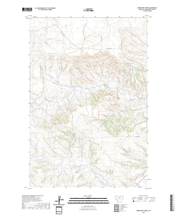
2024 Map of Horsethief Creek
USGS Topo · Published 2024About this map
Horsethief Creek flows through the central portion of this Musselshell County landscape, carving a drainage pattern through the high plains of central Montana. The terrain is defined by its agricultural and industrial character, where the presence of Oil Field Rd in the north suggests local energy extraction that exists alongside traditional ranching. The eastern sections show a modest residential or ranch-access cluster along Fallow Ln, Bannock Ln, and Echo Ave, while the broader area remains largely open.
Find a feature on this map
19 named features on this map. Tap any name to fly to it.
Don’t see what you’re looking for? This feature index may not catch every label — zoom into the map to look around manually.
Map Details
Editions of this 2024 Horsethief Creek Map
This is the sole edition of this map. No revisions or reprints were ever made.
Other maps of this area

1954 · Roundup
USGS Topo · 1:250,000

1958 · Roundup
USGS Topo · 1:250,000

1979 · Roundup
USGS Topo · 1:100,000

1979 · Bundy
USGS Topo · 1:24,000

1979 · Timber Buttes South
USGS Topo · 1:24,000

1979 · Harper Coulee
USGS Topo · 1:24,000

1979 · Elso
USGS Topo · 1:24,000

1979 · Horsethief Creek
USGS Topo · 1:24,000

1979 · Roundup
USGS Topo · 1:24,000

1986 · Lake Mason SE
USGS Topo · 1:24,000