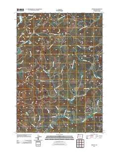
2011 Map of Horton
USGS Topo · Published 2011About this map
Horton and the nearby settlement of Low Pass anchor this coastal range landscape where the headwaters of several major drainages diverge. The terrain is defined by a dense network of timber and access roads, including the CCC Rd and BLM Road 20-1-17.1, which navigate a complex system of ridges and canyons. The Long Tom River winds through the central valley, joined by tributaries like Swamp Creek and Dusky Creek. Local history is marked by family-named landmarks such as John Horton Canyon and Doris Stevens Ridge, alongside the Goldson Cemetery located near the southern map boundary. The presence of the Hull Log Storage Reservoir in the northwest corner reflects the area's industrial ties to the Pacific Northwest timber economy, while unique topographical features like The Hole, Lightning Hollow, and Burp Hollow reveal the intricate character of the Lane County backcountry.
Find a feature on this map
61 named features on this map. Tap any name to fly to it.
Don’t see what you’re looking for? This feature index may not catch every label — zoom into the map to look around manually.
Map Details
Editions of this 2011 Horton Map
This is the sole edition of this map. No revisions or reprints were ever made.
Other maps of this area

1909 · Elmira
USGS Topo · 1:62,500

1911 · Monroe
USGS Topo · 1:31,680

1922 · Monroe
USGS Topo · 1:62,500

1922 · Elmira
USGS Topo · 1:62,500

1939 · Monroe
USGS Topo · 1:62,500

1941 · Blachly
USGS Topo · 1:62,500

1942 · Alsea
USGS Topo · 1:62,500

1942 · Elmira
USGS Topo · 1:62,500

1942 · Blachly
USGS Topo · 1:62,500

1942 · Monroe
USGS Topo · 1:62,500