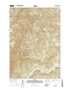
2014 Map of Horton
USGS Topo · Published 2014About this map
Horton sits at the edge of the Coast Range within this 2014 topographic study of Lane County, Oregon. The landscape is defined by the headwaters and drainages that feed the Long Tom River, showing a complex network of forest roads and township boundaries including t15s r7w and t16s r6w. The map details the modern land management patterns of western Oregon, where steep terrain and narrow valleys dictate the paths of rural infrastructure and small-scale settlement. This edition serves as a precise record of the contemporary geography before further changes in forest cover or local development occur in this timber-rich region.
Find a feature on this map
7 named features on this map. Tap any name to fly to it.
Don’t see what you’re looking for? This feature index may not catch every label — zoom into the map to look around manually.
Map Details
Editions of this 2014 Horton Map
This is the sole edition of this map. No revisions or reprints were ever made.
Other maps of this area

1909 · Elmira
USGS Topo · 1:62,500

1911 · Monroe
USGS Topo · 1:31,680

1922 · Monroe
USGS Topo · 1:62,500

1922 · Elmira
USGS Topo · 1:62,500

1939 · Monroe
USGS Topo · 1:62,500

1941 · Blachly
USGS Topo · 1:62,500

1942 · Alsea
USGS Topo · 1:62,500

1942 · Elmira
USGS Topo · 1:62,500

1942 · Blachly
USGS Topo · 1:62,500

1942 · Monroe
USGS Topo · 1:62,500