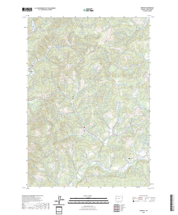
2024 Map of Horton
USGS Topo · Published 2024About this map
Horton serves as the primary settlement node in this corner of the Coast Range, where the landscape is defined by the headwaters of the South Fork Alsea River and the Long Tom River. The presence of the Hult Log Storage Reservoir near the northern boundary points to the area's timber-dependent economy, a common trait for these mountainous drainages in Western Oregon. The terrain is deeply partitioned by family-named landmarks like John Horton Canyon, Doris Stevens Ridge, and Stakely Canyon, suggesting a history of homesteading and early land claims. Moving south through Low Pass, the map reveals a network of BLM access roads and forest routes that connect isolated features such as Goldson Cem and the prominent Crenshaw Hill. This area marks a critical divide between the Alsea and Long Tom watersheds, with various canyons like Leibo Canyon and Target Canyon carving into the timbered ridges.
Find a feature on this map
64 named features on this map. Tap any name to fly to it.
Don’t see what you’re looking for? This feature index may not catch every label — zoom into the map to look around manually.
Map Details
Editions of this 2024 Horton Map
This is the sole edition of this map. No revisions or reprints were ever made.
Other maps of this area

1909 · Elmira
USGS Topo · 1:62,500

1911 · Monroe
USGS Topo · 1:31,680

1922 · Monroe
USGS Topo · 1:62,500

1922 · Elmira
USGS Topo · 1:62,500

1939 · Monroe
USGS Topo · 1:62,500

1941 · Blachly
USGS Topo · 1:62,500

1942 · Alsea
USGS Topo · 1:62,500

1942 · Elmira
USGS Topo · 1:62,500

1942 · Blachly
USGS Topo · 1:62,500

1942 · Monroe
USGS Topo · 1:62,500