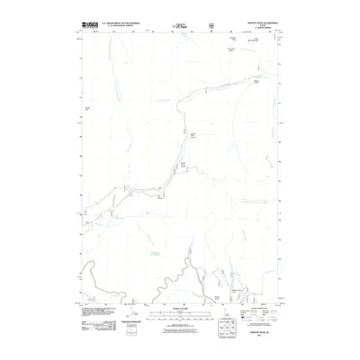
2011 Map of Horton Peak
USGS Topo · Published 2011About this map
Horton Peak stands as a prominent sentinel over this high-elevation Idaho landscape, where the headwaters of several major drainages diverge. The drainage of Germania Creek flows through the northern sector, passing the high basins of Croesus Peak and Bible Back Mountain, while the southern reaches are defined by the winding course of the Big Wood River. A network of named gulches and canyons, including Grand Prize Canyon and Emma Gulch, suggests a history of localized prospecting and mountain travel.
Find a feature on this map
25 named features on this map. Tap any name to fly to it.
Don’t see what you’re looking for? This feature index may not catch every label — zoom into the map to look around manually.
Map Details
Editions of this 2011 Horton Peak Map
This is the sole edition of this map. No revisions or reprints were ever made.
Other maps of this area

1900 · Sawtooth
USGS Topo · 1:125,000

1919 · Custer
USGS Topo · 1:125,000

1922 · Custer
USGS Topo · 1:125,000

1955 · Hailey
USGS Topo · 1:250,000

1957 · Challis
USGS Topo · 1:250,000

1959 · Hailey
USGS Topo · 1:250,000

1960 · Challis
USGS Topo · 1:250,000

1962 · Hailey
USGS Topo · 1:250,000

1963 · Challis
USGS Topo · 1:250,000

1963 · Alturas Lake
USGS Topo · 1:24,000