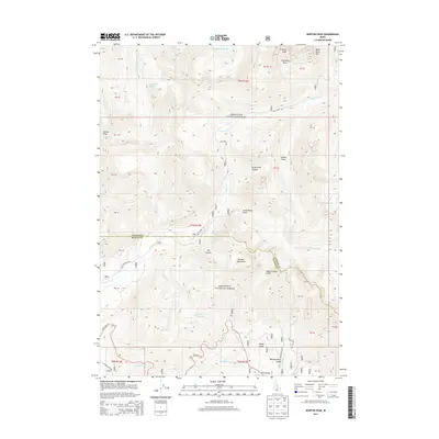
2013 Map of Horton Peak
USGS Topo · Published 2013About this map
The high peaks of the Sawtooth National Forest dominate this high-altitude landscape along the border of Custer and Blaine Counties. Rising to prominent elevations are Horton Peak, Croesus Peak, and Bible Back Mtn, which frame a complex system of drainage and glacial features. The map illustrates the headwaters of major Idaho waterways, including the Salmon River and the Big Wood River, alongside high-basin features like Governors Punchbowl and the Champion Lakes.
Find a feature on this map
34 named features on this map. Tap any name to fly to it.
Don’t see what you’re looking for? This feature index may not catch every label — zoom into the map to look around manually.
Map Details
Editions of this 2013 Horton Peak Map
This is the sole edition of this map. No revisions or reprints were ever made.
Other maps of this area

1900 · Sawtooth
USGS Topo · 1:125,000

1919 · Custer
USGS Topo · 1:125,000

1922 · Custer
USGS Topo · 1:125,000

1955 · Hailey
USGS Topo · 1:250,000

1957 · Challis
USGS Topo · 1:250,000

1959 · Hailey
USGS Topo · 1:250,000

1960 · Challis
USGS Topo · 1:250,000

1962 · Hailey
USGS Topo · 1:250,000

1963 · Challis
USGS Topo · 1:250,000

1963 · Alturas Lake
USGS Topo · 1:24,000