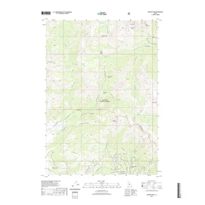
2020 Map of Horton Peak
USGS Topo · Published 2020About this map
Sawtooth National Forest dominates this landscape in the mountains north of Ketchum, where the rugged topography of the White Cloud Peaks and the Boulder Mountains meet. The map reveals a high-elevation environment shaped by alpine hydrology and historic transit, featuring the headwaters of the Big Wood River and the Salmon River Rd. While many areas are primitive, a single Mine Shaft in the southeastern corner near Westernhome Gulch points to the region's mineral history. Recreational and historical routes are well-documented, including the Old Toll Road Trail and several specialized ski and ATV paths such as the Emma's Gulch Ski (Snow) and the Corrals Atv Trail. Prominent summits like Horton Peak, Croesus Peak, and Bible Back Mtn provide the geographical anchors for this remote interior wilderness.
Find a feature on this map
53 named features on this map. Tap any name to fly to it.
Don’t see what you’re looking for? This feature index may not catch every label — zoom into the map to look around manually.
Map Details
Editions of this 2020 Horton Peak Map
This is the sole edition of this map. No revisions or reprints were ever made.
Other maps of this area

1900 · Sawtooth
USGS Topo · 1:125,000

1919 · Custer
USGS Topo · 1:125,000

1922 · Custer
USGS Topo · 1:125,000

1955 · Hailey
USGS Topo · 1:250,000

1957 · Challis
USGS Topo · 1:250,000

1959 · Hailey
USGS Topo · 1:250,000

1960 · Challis
USGS Topo · 1:250,000

1962 · Hailey
USGS Topo · 1:250,000

1963 · Challis
USGS Topo · 1:250,000

1963 · Alturas Lake
USGS Topo · 1:24,000