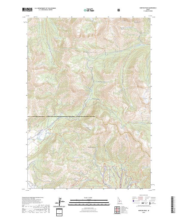
2024 Map of Horton Peak
USGS Topo · Published 2024About this map
The Sawtooth National Forest and Hemingway-Boulders Wilderness converge in this high-altitude section of central Idaho, where the Boulder Mountains meet the Smoky Mountains. The landscape is defined by dramatic glacial features, including the Governors Punchbowl and alpine water bodies like Rainbow Lake and Deer Lakes. A complex drainage system feeds the headwaters of the Salmon River and Big Wood River, with numerous creeks such as Germania Creek and Gladiator Creek carving through deep valleys like Grand Prize Canyon. The map records an extensive network of primitive paths, including the Old Toll Road Trl and Champion Creek Trl, tracing the historic routes through Germania Basin and across the high ridges of the White Cloud Peaks.
Find a feature on this map
68 named features on this map. Tap any name to fly to it.
Don’t see what you’re looking for? This feature index may not catch every label — zoom into the map to look around manually.
Map Details
Editions of this 2024 Horton Peak Map
This is the sole edition of this map. No revisions or reprints were ever made.
Other maps of this area

1900 · Sawtooth
USGS Topo · 1:125,000

1919 · Custer
USGS Topo · 1:125,000

1922 · Custer
USGS Topo · 1:125,000

1955 · Hailey
USGS Topo · 1:250,000

1957 · Challis
USGS Topo · 1:250,000

1959 · Hailey
USGS Topo · 1:250,000

1960 · Challis
USGS Topo · 1:250,000

1962 · Hailey
USGS Topo · 1:250,000

1963 · Challis
USGS Topo · 1:250,000

1963 · Alturas Lake
USGS Topo · 1:24,000