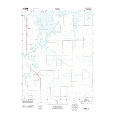
2011 Map of Horton
USGS Topo · Published 2011About this map
The Marmaton River and Little Osage River converge in this northern Vernon County landscape, creating a complex wetland environment characterized by oxbows and backwaters like Daugherty Bend, Stearns Lake, and Spile Lake. The small community of Horton sits along the western edge of this hydrological network, where local roads transition into the floodplains. To the east, the terrain rises slightly toward Timber Hill and the settlement of Ketterman, marking a shift from the river bottoms to the upland prairies.
Find a feature on this map
33 named features on this map. Tap any name to fly to it.
Don’t see what you’re looking for? This feature index may not catch every label — zoom into the map to look around manually.
Map Details
Editions of this 2011 Horton Map
This is the sole edition of this map. No revisions or reprints were ever made.
Other maps of this area

1886 · Nevada
USGS Topo · 1:125,000

1887 · Butler
USGS Topo · 1:125,000

1894 · Butler
USGS Topo · 1:125,000

1894 · Nevada
USGS Topo · 1:125,000

1933 · Camp Clark
USGS Topo · 1:24,000

1934 · Papinsville
USGS Topo · 1:24,000

1936 · Rich Hill
USGS Topo · 1:24,000

1938 · Metz
USGS Topo · 1:24,000

1938 · Horton
USGS Topo · 1:24,000

1939 · Metz
USGS Topo · 1:24,000