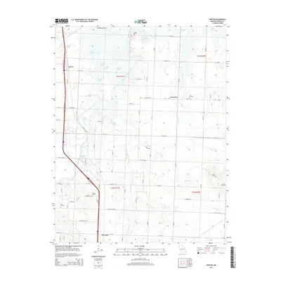
2015 Map of Horton
USGS Topo · Published 2015About this map
The Marmaton River and its numerous tributaries and oxbow lakes define the low-lying prairie landscape of Vernon County just north of Nevada. This 2015 study shows the rural character of settlements like Horton and Ketterman, where the land is punctuated by family and community landmarks such as Berea Cemetery and Antioch Cemetery. The convergence of the Marmaton with the Little Osage River at Daugherty Bend created a complex system of water bodies, including Stearns Lake, Cottonwood Lake, and Spile Lake, reflecting a history of changing river courses. Local topographic relief is provided by Timber Hill and the Mound, which stand above the surrounding floodplain. The map also records the grid of early road names like E Jayhawker Rd and E Katy Track Rd, which often hint at the historic rail routes and migration paths that shaped this part of western Missouri.
Find a feature on this map
49 named features on this map. Tap any name to fly to it.
Don’t see what you’re looking for? This feature index may not catch every label — zoom into the map to look around manually.
Map Details
Editions of this 2015 Horton Map
This is the sole edition of this map. No revisions or reprints were ever made.
Other maps of this area

1886 · Nevada
USGS Topo · 1:125,000

1887 · Butler
USGS Topo · 1:125,000

1894 · Butler
USGS Topo · 1:125,000

1894 · Nevada
USGS Topo · 1:125,000

1933 · Camp Clark
USGS Topo · 1:24,000

1934 · Papinsville
USGS Topo · 1:24,000

1936 · Rich Hill
USGS Topo · 1:24,000

1938 · Metz
USGS Topo · 1:24,000

1938 · Horton
USGS Topo · 1:24,000

1939 · Metz
USGS Topo · 1:24,000