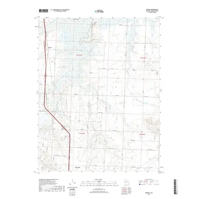
2017 Map of Horton
USGS Topo · Published 2017About this map
The confluence of the Little Osage River and the Marmaton River anchors this study of north-central Vernon County, capturing a landscape defined by expansive floodplains and low-lying wetlands. The small settlement of Horton sits along the western edge, positioned near the meandering waters of Daugherty Bend. The terrain is characterized by numerous small bodies of water such as Stearns Lake, Hubler Lake, and McDowell Lake, reflecting the natural hydrology of the Missouri plains before intensive drainage or development might have altered their reach. For genealogists and local historians, the sheet preserves the locations of several burial sites, including Berea Cem and Antioch Cem, which serve as quiet markers of the area's rural communities. Significant landmarks like Timber Hill rise above the river valleys, while local drainage systems such as Sulphur Springs Br and Old Town Br illustrate the intricate water network feeding into the larger river systems.
Find a feature on this map
68 named features on this map. Tap any name to fly to it.
Don’t see what you’re looking for? This feature index may not catch every label — zoom into the map to look around manually.
Map Details
Editions of this 2017 Horton Map
This is the sole edition of this map. No revisions or reprints were ever made.
Other maps of this area

1886 · Nevada
USGS Topo · 1:125,000

1887 · Butler
USGS Topo · 1:125,000

1894 · Butler
USGS Topo · 1:125,000

1894 · Nevada
USGS Topo · 1:125,000

1933 · Camp Clark
USGS Topo · 1:24,000

1934 · Papinsville
USGS Topo · 1:24,000

1936 · Rich Hill
USGS Topo · 1:24,000

1938 · Metz
USGS Topo · 1:24,000

1938 · Horton
USGS Topo · 1:24,000

1939 · Metz
USGS Topo · 1:24,000