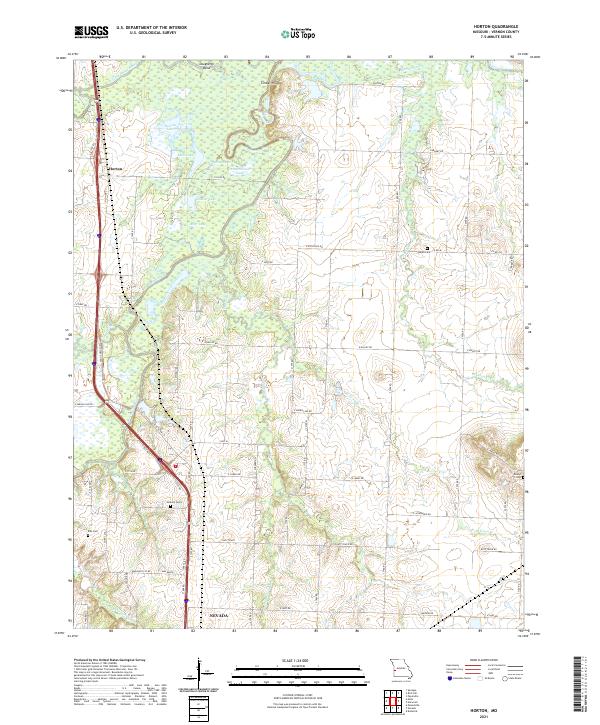
2021 Map of Horton
USGS Topo · Published 2021About this map
The confluence of the Little Osage River and Marmaton River anchors this corner of Vernon County, defining a landscape of low-lying floodplains and numerous oxbow lakes. Settlements like Horton are positioned along the elevated corridor of Old US Hwy 71, while the surrounding terrain is marked by significant water bodies such as Stearns Lake, Spile Lake, and Long Lake. This geography reflects a history of shifting river channels and wetland management, evidenced by the many named drainage features like Old Town Br and Hightower Cr.
Find a feature on this map
67 named features on this map. Tap any name to fly to it.
Don’t see what you’re looking for? This feature index may not catch every label — zoom into the map to look around manually.
Map Details
Editions of this 2021 Horton Map
This is the sole edition of this map. No revisions or reprints were ever made.
Other maps of this area

1886 · Nevada
USGS Topo · 1:125,000

1887 · Butler
USGS Topo · 1:125,000

1894 · Butler
USGS Topo · 1:125,000

1894 · Nevada
USGS Topo · 1:125,000

1933 · Camp Clark
USGS Topo · 1:24,000

1934 · Papinsville
USGS Topo · 1:24,000

1936 · Rich Hill
USGS Topo · 1:24,000

1938 · Metz
USGS Topo · 1:24,000

1938 · Horton
USGS Topo · 1:24,000

1939 · Metz
USGS Topo · 1:24,000