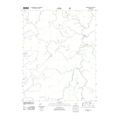
2011 Map of Hoskinston
USGS Topo · Published 2011About this map
The Middle Fork Kentucky River defines the central corridor of this Leslie County landscape, where small communities follow the winding waterways. In the early 21st century, the persistence of local hubs is evident through the clustered presence of the Stinnett Post Office, Hoskinston Post Office, and Essie Post Office, marking the administrative and social centers for residents in the valley. The terrain is deeply incised by a dense network of branches and forks, including Greasy Creek and Gilberts Big Creek, which historically dictated the paths of travel.
Find a feature on this map
68 named features on this map. Tap any name to fly to it.
Don’t see what you’re looking for? This feature index may not catch every label — zoom into the map to look around manually.
Map Details
Editions of this 2011 Hoskinston Map
This is the sole edition of this map. No revisions or reprints were ever made.
Other maps of this area

1886 · Cumberland Gap
USGS Topo · 1:125,000

1887 · Jonesville
USGS Topo · 1:125,000

1888 · Cumberland Gap
USGS Topo · 1:125,000

1891 · Manchester
USGS Topo · 1:125,000

1891 · Cumberland Gap
USGS Topo · 1:125,000

1891 · Hazard
USGS Topo · 1:125,000

1891 · Jonesville
USGS Topo · 1:125,000

1903 · Harlan
USGS Topo · 1:48,000

1903 · Pineville
USGS Topo · 1:48,000

1916 · Harlan
USGS Topo · 1:48,000