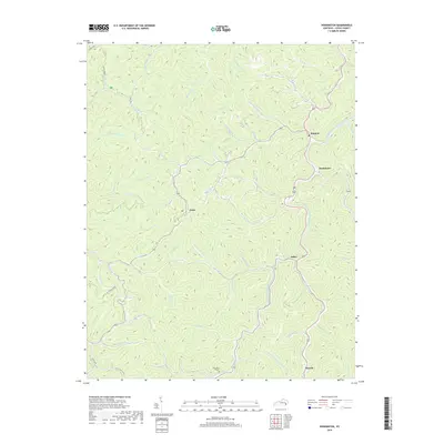
2019 Map of Hoskinston
USGS Topo · Published 2019About this map
The Middle Fork Kentucky River defines the winding orientation of this Leslie County landscape, where small mountain settlements like Stinnett and Hoskinston follow the narrow valleys. The terrain is a complex network of steep ridges and deep hollows, including the prominent Old House Ridge. Development is concentrated along the watercourses, with communities such as Essie, Asher, and Mozelle serving as focal points for local life.
Find a feature on this map
61 named features on this map. Tap any name to fly to it.
Don’t see what you’re looking for? This feature index may not catch every label — zoom into the map to look around manually.
Map Details
Editions of this 2019 Hoskinston Map
This is the sole edition of this map. No revisions or reprints were ever made.
Other maps of this area

1886 · Cumberland Gap
USGS Topo · 1:125,000

1887 · Jonesville
USGS Topo · 1:125,000

1888 · Cumberland Gap
USGS Topo · 1:125,000

1891 · Manchester
USGS Topo · 1:125,000

1891 · Cumberland Gap
USGS Topo · 1:125,000

1891 · Hazard
USGS Topo · 1:125,000

1891 · Jonesville
USGS Topo · 1:125,000

1903 · Harlan
USGS Topo · 1:48,000

1903 · Pineville
USGS Topo · 1:48,000

1916 · Harlan
USGS Topo · 1:48,000