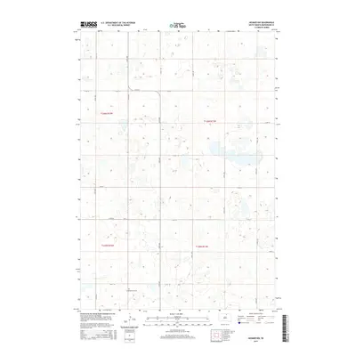
2015 Map of Hosmer NW
USGS Topo · Published 2015About this map
Congregational Cem sits at the intersection of 121st St and 337th Ave, serving as a primary point of historical interest in this rural landscape. The terrain is defined by the Public Land Survey System, with grid lines for townships including t126n r72w and t125n r71w structuring the agricultural layout. Numerous unnamed wetlands and small water bodies are scattered across the quadrangle, illustrating the glaciated prairie pothole region of McPherson County. A network of section-line roads, such as 335th Ave and 115th St, provides access to the surrounding farmsteads. This 2015 survey shows a stable rural pattern where modern infrastructure follows the established historical survey lines, reflecting over a century of land management in the Dakotas.
Find a feature on this map
18 named features on this map. Tap any name to fly to it.
Don’t see what you’re looking for? This feature index may not catch every label — zoom into the map to look around manually.
Map Details
Editions of this 2015 Hosmer NW Map
This is the sole edition of this map. No revisions or reprints were ever made.
Other maps of this area

1954 · Aberdeen
USGS Topo · 1:250,000

1956 · Aberdeen
USGS Topo · 1:250,000

1978 · Hillsview SE
USGS Topo · 1:24,000

1978 · Hosmer NW
USGS Topo · 1:24,000

1978 · Hosmer NE
USGS Topo · 1:24,000

1978 · Hosmer SE
USGS Topo · 1:24,000

1978 · Eureka East
USGS Topo · 1:24,000

1978 · Hosmer
USGS Topo · 1:24,000

1978 · Schumacher Lake
USGS Topo · 1:24,000

1978 · Schumacher Lake SW
USGS Topo · 1:24,000