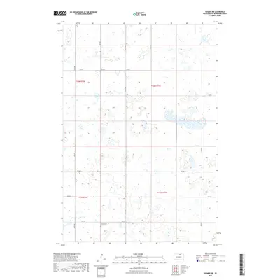
2017 Map of Hosmer NW
USGS Topo · Published 2017About this map
Glacial potholes and prairie wetlands define this corner of McPherson County, where a dense network of seasonal water bodies and marshes stretches across the landscape. The most prominent cultural landmark is the Congregational Cem, located in the southwest corner of the map at the junction of 121st St and 337th Ave. This cemetery serves as a vital genealogical marker for the early families who settled these sections of the Missouri Coteau region. The area is gridded by a strict township and range system, primarily connected by county routes like Co Hwy 12 and Co Hwy 7. The map illustrates the persistent agricultural and drainage patterns of South Dakota's northern plains, where section lines and rural roads navigate around thousands of small, unintegrated depressions in the terrain.
Find a feature on this map
19 named features on this map. Tap any name to fly to it.
Don’t see what you’re looking for? This feature index may not catch every label — zoom into the map to look around manually.
Map Details
Editions of this 2017 Hosmer NW Map
This is the sole edition of this map. No revisions or reprints were ever made.
Other maps of this area

1954 · Aberdeen
USGS Topo · 1:250,000

1956 · Aberdeen
USGS Topo · 1:250,000

1978 · Hillsview SE
USGS Topo · 1:24,000

1978 · Hosmer NW
USGS Topo · 1:24,000

1978 · Hosmer NE
USGS Topo · 1:24,000

1978 · Hosmer SE
USGS Topo · 1:24,000

1978 · Eureka East
USGS Topo · 1:24,000

1978 · Hosmer
USGS Topo · 1:24,000

1978 · Schumacher Lake
USGS Topo · 1:24,000

1978 · Schumacher Lake SW
USGS Topo · 1:24,000