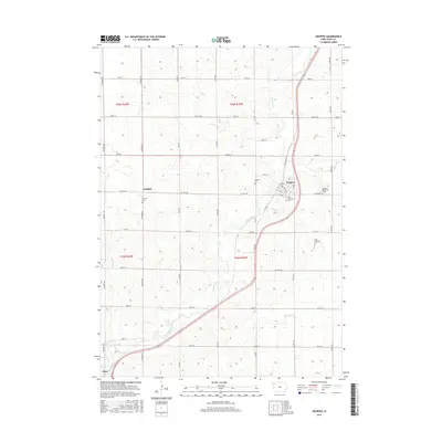
2015 Map of Hospers
USGS Topo · Published 2015About this map
Hospers and the surrounding prairie of Sioux County are defined by the winding course of the Floyd River, which cuts a diagonal path through this agricultural landscape. The 2015 survey reveals a disciplined grid of rural roads, including Kennedy Ave and Marsh Ave, connecting the small settlements and homesteads of the region. Local history is anchored by several burial grounds, such as Saint Anthonys Cem and Hospers Cem, which serve as permanent markers of the community's genealogy. To the west, the hamlet of Newkirk sits along Co Hwy B40, while the northern edge of Alton appears at the southern map margin. This modern topographic study illustrates the persistence of the traditional Iowa township structure, with Floyd Township Cem and various section-line roads like 410th St and 430th St maintaining the spatial organization established over a century ago.
Find a feature on this map
41 named features on this map. Tap any name to fly to it.
Don’t see what you’re looking for? This feature index may not catch every label — zoom into the map to look around manually.
Map Details
Editions of this 2015 Hospers Map
This is the sole edition of this map. No revisions or reprints were ever made.
Other maps of this area

1954 · Fairmont
USGS Topo · 1:250,000

1954 · Fort Dodge
USGS Topo · 1:250,000

1955 · Sioux City
USGS Topo · 1:250,000

1955 · Sioux Falls
USGS Topo · 1:250,000

1957 · Fort Dodge
USGS Topo · 1:250,000

1958 · Sioux City
USGS Topo · 1:250,000

1958 · Sioux Falls
USGS Topo · 1:250,000

1958 · Fort Dodge
USGS Topo · 1:250,000

1958 · Fairmont
USGS Topo · 1:250,000

1959 · Sioux City
USGS Topo · 1:250,000