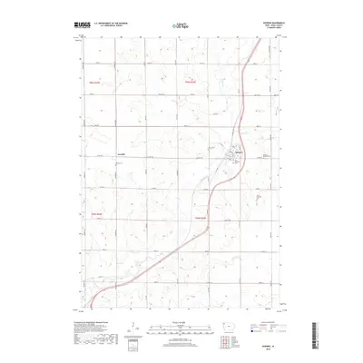
2018 Map of Hospers
USGS Topo · Published 2018About this map
Hospers serves as a primary hub in this portion of Sioux County, where the street grid of Pine St, Fir St, and Elm St meets the winding course of the Floyd River. The map highlights a landscape dominated by agricultural section lines and localized rural centers like Newkirk, located to the west. A significant concentration of burial grounds reflects the generational roots of the area, including Newkirk Cem, Hospers Cem, Hospers Memorial Cem, and Saint Anthonys Cem. The drainage patterns of Willow Cr and the larger river system provide the only natural breaks in the orderly grid of county roads such as Co Hwy B40 and Kennedy Ave. This survey offers a detailed look at the interface between traditional township structures and the modern road networks that connect these prairie settlements.
Find a feature on this map
42 named features on this map. Tap any name to fly to it.
Don’t see what you’re looking for? This feature index may not catch every label — zoom into the map to look around manually.
Map Details
Editions of this 2018 Hospers Map
This is the sole edition of this map. No revisions or reprints were ever made.
Other maps of this area

1954 · Fairmont
USGS Topo · 1:250,000

1954 · Fort Dodge
USGS Topo · 1:250,000

1955 · Sioux City
USGS Topo · 1:250,000

1955 · Sioux Falls
USGS Topo · 1:250,000

1957 · Fort Dodge
USGS Topo · 1:250,000

1958 · Sioux City
USGS Topo · 1:250,000

1958 · Sioux Falls
USGS Topo · 1:250,000

1958 · Fort Dodge
USGS Topo · 1:250,000

1958 · Fairmont
USGS Topo · 1:250,000

1959 · Sioux City
USGS Topo · 1:250,000