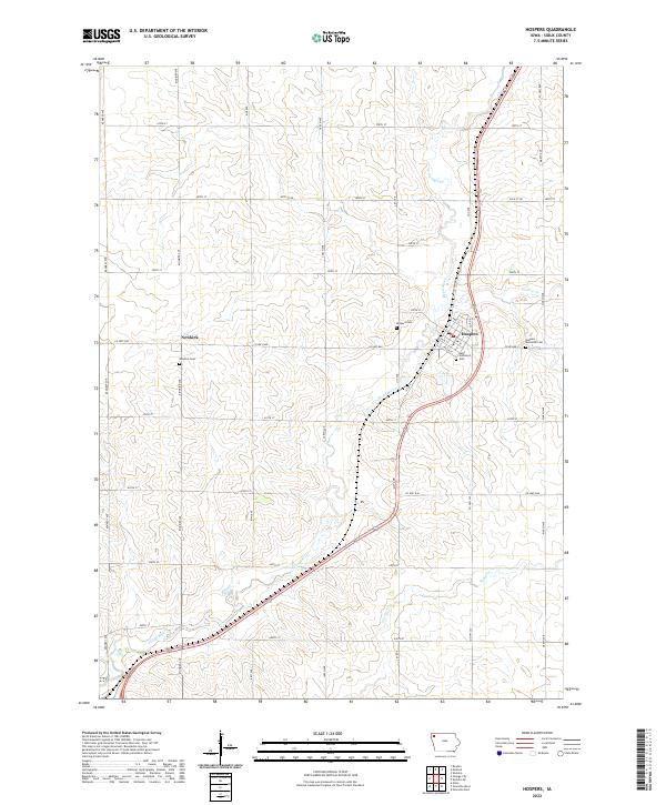
2022 Map of Hospers
USGS Topo · Published 2022About this map
The Floyd River meanders through this portion of Sioux County, defining the agricultural landscape around the town of Hospers. This modern survey illustrates the organized grid of the Public Land Survey System, with townships like t96n r43w and t95n r44w divided by an extensive network of county roads including Kennedy Ave and Larch Ave. The settlement of Newkirk sits west of the river, serving as a secondary local hub. Genealogical value is found in several established burial grounds, notably Saint Anthonys Cem and Newkirk Cem, which reflect the community's historical roots. The drainage pattern is further detailed by tributaries such as Willow Cr, which cuts through the eastern sections near Marsh Ave.
Find a feature on this map
40 named features on this map. Tap any name to fly to it.
Don’t see what you’re looking for? This feature index may not catch every label — zoom into the map to look around manually.
Map Details
Editions of this 2022 Hospers Map
This is the sole edition of this map. No revisions or reprints were ever made.
Other maps of this area

1954 · Fairmont
USGS Topo · 1:250,000

1954 · Fort Dodge
USGS Topo · 1:250,000

1955 · Sioux City
USGS Topo · 1:250,000

1955 · Sioux Falls
USGS Topo · 1:250,000

1957 · Fort Dodge
USGS Topo · 1:250,000

1958 · Sioux City
USGS Topo · 1:250,000

1958 · Sioux Falls
USGS Topo · 1:250,000

1958 · Fort Dodge
USGS Topo · 1:250,000

1958 · Fairmont
USGS Topo · 1:250,000

1959 · Sioux City
USGS Topo · 1:250,000