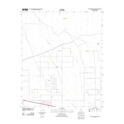
2011 Map of Hot Rock Mountain
USGS Topo · Published 2011About this map
Tonopah Desert dominates this arid landscape in Maricopa County, characterized by the intricate drainage patterns of Old Camp Wash and Winters Wash. The terrain is anchored by the prominent Hot Rock Mountain and the geological formation at Belmont Arch. Human activity is concentrated around infrastructure like the Tonopah Airport and agricultural operations such as Joleena Farm. The map reveals a transitioning desert floor where modern road grids, including W Camelback Rd and W Bethany Home Rd, extend westward from the metropolitan periphery. This survey captures a moment of suburban and rural expansion into the desert, where traditional agriculture and modern aviation intersect with the natural washes and mountain peaks of the Arizona landscape.
Find a feature on this map
18 named features on this map. Tap any name to fly to it.
Don’t see what you’re looking for? This feature index may not catch every label — zoom into the map to look around manually.
Map Details
Editions of this 2011 Hot Rock Mountain Map
This is the sole edition of this map. No revisions or reprints were ever made.
Other maps of this area

1942 · Vicksburg
USGS Topo · 1:250,000

1954 · Phoenix
USGS Topo · 1:250,000

1957 · Phoenix
USGS Topo · 1:250,000

1958 · Phoenix
USGS Topo · 1:250,000

1960 · Phoenix
USGS Topo · 1:250,000

1961 · Big Horn Mts
USGS Topo · 1:62,500

1962 · Belmont Mts
USGS Topo · 1:62,500

1962 · Cortez Peak
USGS Topo · 1:62,500

1962 · Arlington
USGS Topo · 1:62,500

1969 · Phoenix
USGS Topo · 1:250,000