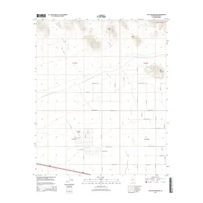
2014 Map of Hot Rock Mountain
USGS Topo · Published 2014About this map
Tonopah Desert terrain transitions into a structured grid of western Maricopa County roads south of the Belmont Mountains. This 2014 survey documents the industrial and civil infrastructure of the era, notably the Central Arizona Project Aqueduct which cuts diagonally across the landscape. The northern portion of the map is defined by the high relief of the mountains, featuring distinctive geological landmarks such as Belmont Arch and Natural Arch near the namesake Hot Rock Mountain. In the south, the flat desert floor accommodates the Tonopah Airport and a dense network of residential and access roads, including W Bethany Home Rd and W Glendale Ave. This intersection of arid wilderness and planned expansion shows how water management and aviation shaped the contemporary footprint of the region.
Find a feature on this map
37 named features on this map. Tap any name to fly to it.
Don’t see what you’re looking for? This feature index may not catch every label — zoom into the map to look around manually.
Map Details
Editions of this 2014 Hot Rock Mountain Map
This is the sole edition of this map. No revisions or reprints were ever made.
Other maps of this area

1942 · Vicksburg
USGS Topo · 1:250,000

1954 · Phoenix
USGS Topo · 1:250,000

1957 · Phoenix
USGS Topo · 1:250,000

1958 · Phoenix
USGS Topo · 1:250,000

1960 · Phoenix
USGS Topo · 1:250,000

1961 · Big Horn Mts
USGS Topo · 1:62,500

1962 · Belmont Mts
USGS Topo · 1:62,500

1962 · Cortez Peak
USGS Topo · 1:62,500

1962 · Arlington
USGS Topo · 1:62,500

1969 · Phoenix
USGS Topo · 1:250,000