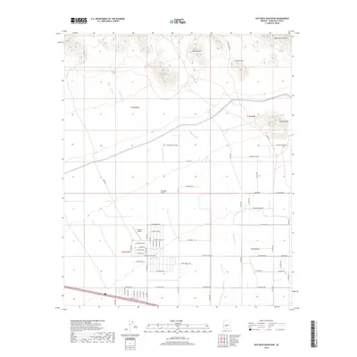
2018 Map of Hot Rock Mountain
USGS Topo · Published 2018About this map
The Belmont Mountains dominate the northern horizon of this landscape, where the high desert meets the modern engineering of the Central Arizona Project Aqueduct. This section of the Tonopah Desert reveals a transition from the rugged natural features of the backcountry, such as the Belmont Arch and Natural Arch, to the organized grid of a developing rural community. In the southern half of the map, a dense network of local roads including W Bethany Home Rd and W Glendale Ave surrounds the Tonopah Airport, reflecting the area's mid-to-late 20th-century growth. Seasonal drainage patterns are clearly defined by Old Camp Wash and Winters Wash, which slice through the terrain toward the lowlands. The presence of the historic Vulture Mine Rd provides a link to the region's mining heritage, connecting the modern residential outskirts to the mineral-rich uplands of Hot Rock Mtn.
Find a feature on this map
65 named features on this map. Tap any name to fly to it.
Don’t see what you’re looking for? This feature index may not catch every label — zoom into the map to look around manually.
Map Details
Editions of this 2018 Hot Rock Mountain Map
This is the sole edition of this map. No revisions or reprints were ever made.
Other maps of this area

1942 · Vicksburg
USGS Topo · 1:250,000

1954 · Phoenix
USGS Topo · 1:250,000

1957 · Phoenix
USGS Topo · 1:250,000

1958 · Phoenix
USGS Topo · 1:250,000

1960 · Phoenix
USGS Topo · 1:250,000

1961 · Big Horn Mts
USGS Topo · 1:62,500

1962 · Belmont Mts
USGS Topo · 1:62,500

1962 · Cortez Peak
USGS Topo · 1:62,500

1962 · Arlington
USGS Topo · 1:62,500

1969 · Phoenix
USGS Topo · 1:250,000