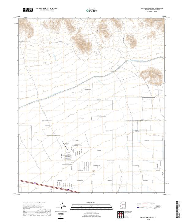
2021 Map of Hot Rock Mountain
USGS Topo · Published 2021About this map
The Belmont Mountains dominate the northern landscape of this region, featuring distinctive landmarks like the Belmont Arch and Natural Arch. To the south, the terrain transitions into the Tonopah Desert, where a grid of rural residential roads meets the industrial infrastructure of the Central Arizona Project Aqueduct. This massive water conveyance system cuts across the desert floor, intersecting natural drainages like Old Camp Wash and Winters Wash.
Find a feature on this map
69 named features on this map. Tap any name to fly to it.
Don’t see what you’re looking for? This feature index may not catch every label — zoom into the map to look around manually.
Map Details
Editions of this 2021 Hot Rock Mountain Map
This is the sole edition of this map. No revisions or reprints were ever made.
Other maps of this area

1942 · Vicksburg
USGS Topo · 1:250,000

1954 · Phoenix
USGS Topo · 1:250,000

1957 · Phoenix
USGS Topo · 1:250,000

1958 · Phoenix
USGS Topo · 1:250,000

1960 · Phoenix
USGS Topo · 1:250,000

1961 · Big Horn Mts
USGS Topo · 1:62,500

1962 · Belmont Mts
USGS Topo · 1:62,500

1962 · Cortez Peak
USGS Topo · 1:62,500

1962 · Arlington
USGS Topo · 1:62,500

1969 · Phoenix
USGS Topo · 1:250,000