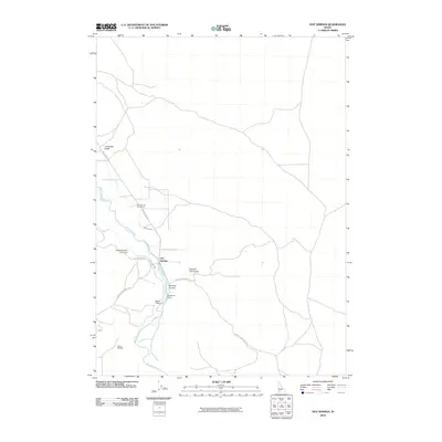
2010 Map of Hot Springs
USGS Topo · Published 2010About this map
The Bruneau River winds through this remote high-desert landscape, serving as the primary corridor for settlement and agricultural activity. The small community of Hot Springs acts as a focal point near the river's edge, supported by the historic Hot Springs Cemetery nearby. Irrigation infrastructure is prominently featured, including the Buckaroo Ditch, Hot Spring Canal, and both Buckaroo Dam and Harris Dam, illustrating the vital role water management plays in Owyhee County ranching operations.
Find a feature on this map
16 named features on this map. Tap any name to fly to it.
Don’t see what you’re looking for? This feature index may not catch every label — zoom into the map to look around manually.
Map Details
Editions of this 2010 Hot Springs Map
This is the sole edition of this map. No revisions or reprints were ever made.
Other maps of this area

1947 · Bruneau
USGS Topo · 1:62,500

1947 · Indian Cove
USGS Topo · 1:24,000

1947 · Sand Dunes
USGS Topo · 1:24,000

1947 · Bruneau
USGS Topo · 1:24,000

1947 · Sugar Valley
USGS Topo · 1:24,000

1947 · Hot Spring
USGS Topo · 1:24,000

1948 · Sand Dunes
USGS Topo · 1:24,000

1948 · Indian Cove
USGS Topo · 1:24,000

1948 · Sugar Valley
USGS Topo · 1:24,000
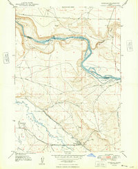
1948 · Bruneau
USGS Topo · 1:24,000