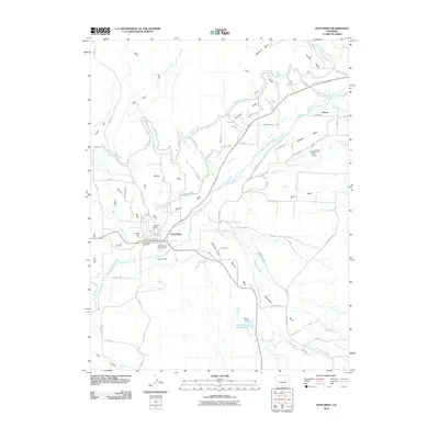
2010 Map of Hotchkiss
USGS Topo · Published 2010About this map
Hotchkiss serves as the focal point of this western Colorado landscape, situated along the North Fork Gunnison River where the valley floor meets an series of prominent agricultural benches. The map reveals an intricate network of irrigation vital to the region's high-desert orchards and farms, including the Fire Mountain Canal, Farmers Ditch, and Stewart DITCH. These water systems wrap around the base of distinctive landforms like Powell Mesa, Hanson Mesa, and Sunshine Mesa, supporting a settlement pattern of homesteads and small communities such as Coburn.
Find a feature on this map
78 named features on this map. Tap any name to fly to it.
Don’t see what you’re looking for? This feature index may not catch every label — zoom into the map to look around manually.
Map Details
Editions of this 2010 Hotchkiss Map
This is the sole edition of this map. No revisions or reprints were ever made.
Other maps of this area

1955 · Black Ridge
USGS Topo · 1:24,000

1955 · Lazear
USGS Topo · 1:24,000

1956 · Montrose
USGS Topo · 1:250,000

1959 · Montrose
USGS Topo · 1:250,000

1960 · Montrose
USGS Topo · 1:250,000
1965 · Gray Reservoir
USGS Topo · 1:24,000
1965 · Dry Creek
USGS Topo · 1:24,000
1965 · Paonia
USGS Topo · 1:24,000
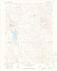
1965 · Crawford
USGS Topo · 1:24,000
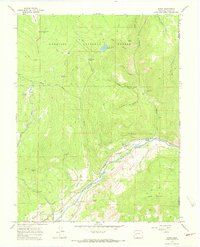
1965 · Bowie
USGS Topo · 1:24,000