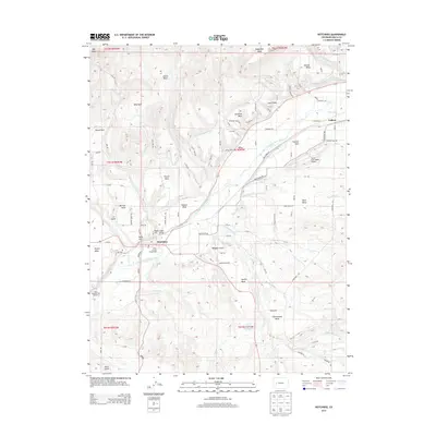
2013 Map of Hotchkiss
USGS Topo · Published 2013About this map
Hotchkiss serves as the central hub for this high-desert agricultural region, where the North Fork Gunnison River flows through a landscape defined by expansive mesas. The intricate network of irrigation, including the Fire Mountain Canal, Farmers Ditch, and Short Ditch, illustrates the engineering required to support farming and ranching on elevations like Sunshine Mesa and Powell Mesa. Community life is anchored by the Delta County Fairgrounds and the Hill Cem near Rogers Mesa. To the north, the terrain rises toward the massive Grand Mesa, while local transport and industry are represented by the North Fork Valley Airport and the Delta National Fish Hatchery. The map captures the distinct geographic divisions of the valley, from the residential clusters at Duke Hill and Coburn to the agricultural reaches of Bone Mesa.
Find a feature on this map
96 named features on this map. Tap any name to fly to it.
Don’t see what you’re looking for? This feature index may not catch every label — zoom into the map to look around manually.
Map Details
Editions of this 2013 Hotchkiss Map
This is the sole edition of this map. No revisions or reprints were ever made.
Other maps of this area

1955 · Black Ridge
USGS Topo · 1:24,000

1955 · Lazear
USGS Topo · 1:24,000

1956 · Montrose
USGS Topo · 1:250,000

1959 · Montrose
USGS Topo · 1:250,000

1960 · Montrose
USGS Topo · 1:250,000
1965 · Gray Reservoir
USGS Topo · 1:24,000
1965 · Dry Creek
USGS Topo · 1:24,000
1965 · Paonia
USGS Topo · 1:24,000
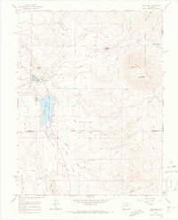
1965 · Crawford
USGS Topo · 1:24,000
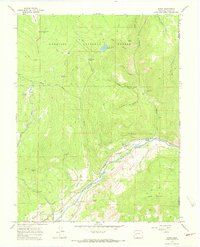
1965 · Bowie
USGS Topo · 1:24,000