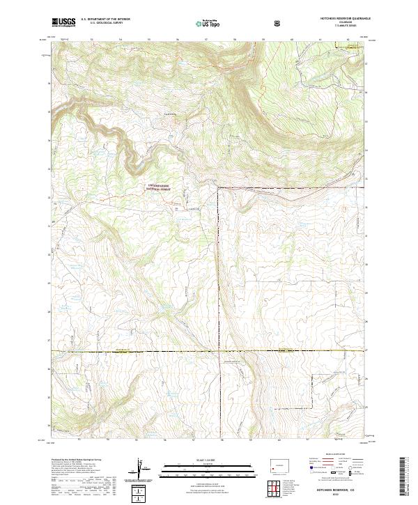
2022 Map of Hotchkiss Reservoir
USGS Topo · Published 2022About this map
The high plateau and drainage basins of the Uncompahgre National Forest define this landscape on the border of Montrose and San Miguel counties. This area is characterized by an extensive network of water management features, including the Hotchkiss Reservoir, Barnes Mill Reservoir, and Section 7 Reservoir, which were essential for sustaining high-altitude land use. The terrain is marked by distinct landmarks like Coyote Knob and Clear Creek Point, providing a framework for the historic routes that traverse the region.
Find a feature on this map
62 named features on this map. Tap any name to fly to it.
Don’t see what you’re looking for? This feature index may not catch every label — zoom into the map to look around manually.
Map Details
Editions of this 2022 Hotchkiss Reservoir Map
This is the sole edition of this map. No revisions or reprints were ever made.
Other maps of this area

1909 · Montrose
USGS Topo · 1:125,000

1911 · Montrose
USGS Topo · 1:125,000

1953 · Placerville
USGS Topo · 1:24,000

1956 · Montrose
USGS Topo · 1:250,000

1956 · Moab
USGS Topo · 1:250,000

1959 · Moab
USGS Topo · 1:250,000

1959 · Montrose
USGS Topo · 1:250,000

1960 · Montrose
USGS Topo · 1:250,000

1960 · Moab
USGS Topo · 1:250,000

1962 · Moab
USGS Topo · 1:250,000