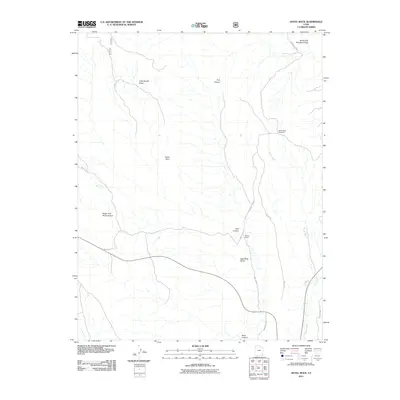
2011 Map of Hotel Rock
USGS Topo · Published 2011About this map
Hotel Rock and the high desert landscape of San Juan County are documented here in the early 21st century. The map illustrates a region defined by complex drainage systems and traditional ranching life, centered around the Perkins Ranch near the intersection of Arch Canyon and Dog Tanks Draw. The topography is marked by significant features like Little Baullie Mesa and the winding Butler Wash, which is flanked by the Butler Wash Viewpoint.
Find a feature on this map
19 named features on this map. Tap any name to fly to it.
Don’t see what you’re looking for? This feature index may not catch every label — zoom into the map to look around manually.
Map Details
Editions of this 2011 Hotel Rock Map
This is the sole edition of this map. No revisions or reprints were ever made.
Other maps of this area

1886 · Abajo
USGS Topo · 1:250,000

1892 · Abajo
USGS Topo · 1:250,000

1893 · Abajo
USGS Topo · 1:250,000

1935 · Elk Ridge
USGS Topo · 1:96,000

1940 · Elk Ridge
USGS Topo · 1:125,000

1954 · Elk Ridge 4 NW
USGS Topo · 1:24,000

1954 · Elk Ridge 3 NE
USGS Topo · 1:24,000

1954 · Elk Ridge 3 SE
USGS Topo · 1:24,000

1954 · Bears Ears
USGS Topo · 1:62,500

1956 · Cortez
USGS Topo · 1:250,000