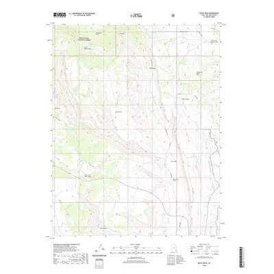
2020 Map of Hotel Rock
USGS Topo · Published 2020About this map
Manti-La Sal National Forest occupies the northern reaches of this high-desert terrain, where deep drainage systems like Comb Wash and Butler Wash define the local topography. This 2020 map documents a landscape of mesa tops and canyon floors, punctuated by distinctive landmarks such as Little Baullie Mesa and the uniquely named Cheese and Raisins Hills. The presence of the Posey S Trl and various 4WD routes like Arch Canyon road suggest a network of backcountry access paths that have likely followed these natural corridors for generations.
Find a feature on this map
26 named features on this map. Tap any name to fly to it.
Don’t see what you’re looking for? This feature index may not catch every label — zoom into the map to look around manually.
Map Details
Editions of this 2020 Hotel Rock Map
This is the sole edition of this map. No revisions or reprints were ever made.
Other maps of this area

1886 · Abajo
USGS Topo · 1:250,000

1892 · Abajo
USGS Topo · 1:250,000

1893 · Abajo
USGS Topo · 1:250,000

1935 · Elk Ridge
USGS Topo · 1:96,000

1940 · Elk Ridge
USGS Topo · 1:125,000

1954 · Elk Ridge 4 NW
USGS Topo · 1:24,000

1954 · Elk Ridge 3 NE
USGS Topo · 1:24,000

1954 · Elk Ridge 3 SE
USGS Topo · 1:24,000

1954 · Bears Ears
USGS Topo · 1:62,500

1956 · Cortez
USGS Topo · 1:250,000