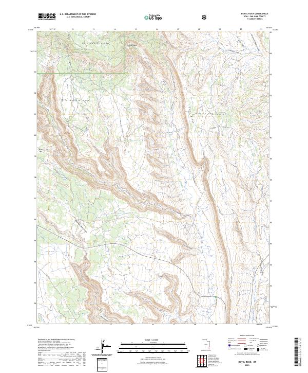
2023 Map of Hotel Rock
USGS Topo · Published 2023About this map
Manti-La Sal National Forest dominates the upper reaches of this high-desert plateau, where the landscape is defined by massive drainages and steep geological formations. The dramatic uplift of Comb Ridge creates a natural barrier running north to south, separating the Comb Wash basin from the eastern Butler Wash. This area is characterized by immense mesas like Little Baullie Mesa and the uniquely named Cheese and Raisins terrain.
Find a feature on this map
24 named features on this map. Tap any name to fly to it.
Don’t see what you’re looking for? This feature index may not catch every label — zoom into the map to look around manually.
Map Details
Editions of this 2023 Hotel Rock Map
This is the sole edition of this map. No revisions or reprints were ever made.
Other maps of this area

1886 · Abajo
USGS Topo · 1:250,000

1892 · Abajo
USGS Topo · 1:250,000

1893 · Abajo
USGS Topo · 1:250,000

1935 · Elk Ridge
USGS Topo · 1:96,000

1940 · Elk Ridge
USGS Topo · 1:125,000

1954 · Elk Ridge 4 NW
USGS Topo · 1:24,000

1954 · Elk Ridge 3 NE
USGS Topo · 1:24,000

1954 · Elk Ridge 3 SE
USGS Topo · 1:24,000

1954 · Bears Ears
USGS Topo · 1:62,500

1956 · Cortez
USGS Topo · 1:250,000