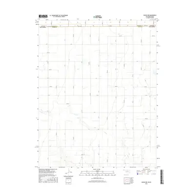
2016 Map of Hough NW
USGS Topo · Published 2016About this map
Cow Creek meanders through the heart of this High Plains landscape, where the flat horizons of the Oklahoma Panhandle meet the Kansas state line. The survey captures a rigid section-line grid of rural roads, including Mile 21 and N0735 Road, which serve the expansive agricultural parcels of Texas County. The boundary between Kansas and Oklahoma is clearly delineated alongside the border of Morton and Texas Counties, illustrating how geopolitical lines and land ownership intersect in this remote prairie corridor. Small wetlands and intermittent drainage patterns break the regularity of the terrain, providing a look at the natural hydrology of the region as it existed in the mid-2010s.
Find a feature on this map
37 named features on this map. Tap any name to fly to it.
Don’t see what you’re looking for? This feature index may not catch every label — zoom into the map to look around manually.
Map Details
Editions of this 2016 Hough NW Map
This is the sole edition of this map. No revisions or reprints were ever made.
Other maps of this area

1954 · Perryton
USGS Topo · 1:250,000

1955 · Dodge City
USGS Topo · 1:250,000

1958 · Perryton
USGS Topo · 1:250,000

1958 · Dodge City
USGS Topo · 1:250,000

1959 · Dodge City
USGS Topo · 1:250,000

1973 · Eva SE
USGS Topo · 1:24,000

1973 · Hough SW
USGS Topo · 1:24,000

1973 · Hough NE
USGS Topo · 1:24,000

1973 · Hough NW
USGS Topo · 1:24,000
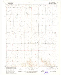
1973 · Eva NE
USGS Topo · 1:24,000