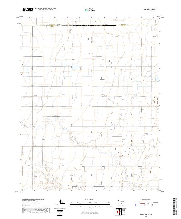
2022 Map of Hough NW
USGS Topo · Published 2022About this map
State Line Rd defines the high plains landscape where the border of Kansas and Oklahoma meets. This area of the Panhandle, split between Morton Co and Texas Co, is characterized by a precise rectilinear grid of section roads that facilitate the region's agricultural production. The primary drainage feature is Cow Cr, which meanders through the southern half of the map, breaking the uniformity of the section lines. Local transport relies on a network of numbered and lettered routes, such as Co Rd 18 and Co Rd 24, which provide access to the vast ranch and farm plots. The mapping of townships like t6n r12e and t5n r13e highlights the systematic land division essential to the history of Western settlement and development in this arid corridor.
Find a feature on this map
43 named features on this map. Tap any name to fly to it.
Don’t see what you’re looking for? This feature index may not catch every label — zoom into the map to look around manually.
Map Details
Editions of this 2022 Hough NW Map
This is the sole edition of this map. No revisions or reprints were ever made.
Other maps of this area

1954 · Perryton
USGS Topo · 1:250,000

1955 · Dodge City
USGS Topo · 1:250,000

1958 · Perryton
USGS Topo · 1:250,000

1958 · Dodge City
USGS Topo · 1:250,000

1959 · Dodge City
USGS Topo · 1:250,000

1973 · Eva SE
USGS Topo · 1:24,000

1973 · Hough SW
USGS Topo · 1:24,000

1973 · Hough NE
USGS Topo · 1:24,000

1973 · Hough NW
USGS Topo · 1:24,000
1973 · Eva NE
USGS Topo · 1:24,000