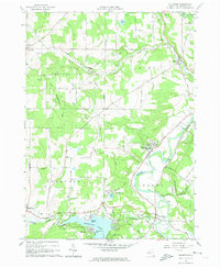
1964 Map of Houghton
USGS Topo · Published 1974About this map
The Genesee River carves a winding path through this Allegany County landscape, anchoring a valley where education and industry met in the mid-1960s. Houghton stands as a central hub, home to Houghton College and Houghton Academy, with its own Houghton College Airfield nearby. To the southwest, the waters of Rushford Lake are held by the Caneadea Dam, creating a recreational focus at Balcom Beach and Hillcrest.
Find a feature on this map
50 named features on this map. Tap any name to fly to it.
Don’t see what you’re looking for? This feature index may not catch every label — zoom into the map to look around manually.
Map Details
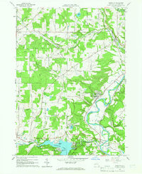
Editions of this 1964 Houghton Map
2 editions found
Other maps of this area

1905 · Portage
USGS Topo · 1:62,500

1906 · Angelica
USGS Topo · 1:62,500

1923 · Arcade
USGS Topo · 1:62,500

1924 · Franklinville
USGS Topo · 1:62,500

1925 · Arcade
USGS Topo · 1:62,500

1941 · Angelica
USGS Topo · 1:62,500

1942 · Franklinville
USGS Topo · 1:62,500

1943 · Portageville
USGS Topo · 1:24,000

1943 · Pike
USGS Topo · 1:24,000

1944 · Pike
USGS Topo · 1:31,680