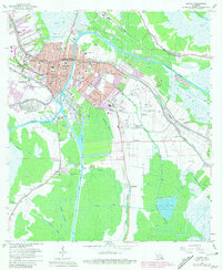
1963 Map of Houma
USGS Topo · Published 1981About this map
Houma centers this Louisiana bayou landscape, revealing a dense network of waterways and early industrial development in Terrebonne Parish. The central city is defined by its position along the Bayou Black and Bayou La Carpe, while the heavy extraction economy of the mid-20th century is evident in the Hollywood Gas Field to the northwest. The map documents significant transportation infrastructure, including the Southern Pacific railroad and the engineered Houma Navigation Canal, which cut through the wetlands to facilitate regional maritime trade.
Find a feature on this map
64 named features on this map. Tap any name to fly to it.
Don’t see what you’re looking for? This feature index may not catch every label — zoom into the map to look around manually.
Map Details
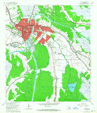
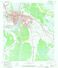
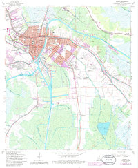
Editions of this 1963 Houma Map
4 editions found
Other maps of this area

1892 · Gibson
USGS Topo · 1:62,500

1892 · Houma
USGS Topo · 1:62,500

1894 · Bayou De Large
USGS Topo · 1:62,500

1894 · Dulac
USGS Topo · 1:62,500

1897 · Gibson
USGS Topo · 1:62,500

1932 · Houma SE
USGS Topo · 1:31,680

1932 · Houma SW
USGS Topo · 1:31,680

1932 · Houma NE
USGS Topo · 1:31,680

1932 · Houma NW
USGS Topo · 1:31,680

1935 · Theriot
USGS Topo · 1:31,680