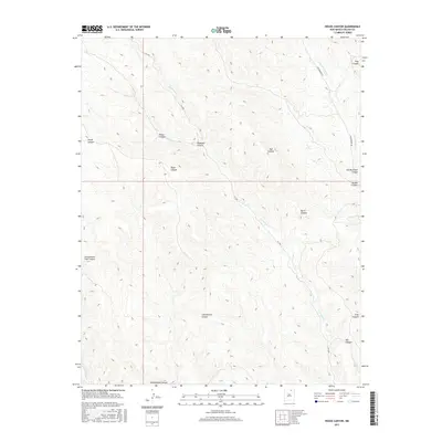
2017 Map of House Canyon
USGS Topo · Published 2017About this map
Cerrososo Cr and Van Bremmer Cr carve a complex system of drainage across this portion of Colfax County. The landscape is defined by its numerous named canyons, reflecting a topography where water has historically dictated the routes of travel and settlement. While much of the terrain remains undeveloped, navigation is marked by FR 1950 and Van Bremmer Rd, which follow the natural contours of the land. Historically significant drainage points such as Juan Brailla Canyon and Cottonwood Canyon anchor the geographic profile of the region, while smaller features like Coal Canyon and Bat Canyon hint at the local geology. This 2017 study illustrates the persistent wilderness character of the area, where watercourses like N Ponil Cr remain the primary landmarks for those traversing the high ground between Chase Canyon and Stag Canyon.
Find a feature on this map
19 named features on this map. Tap any name to fly to it.
Don’t see what you’re looking for? This feature index may not catch every label — zoom into the map to look around manually.
Map Details
Editions of this 2017 House Canyon Map
This is the sole edition of this map. No revisions or reprints were ever made.
Other maps of this area

1954 · Raton
USGS Topo · 1:250,000

1955 · Cimarron
USGS Topo · 1:62,500

1955 · Ute Park
USGS Topo · 1:62,500

1958 · Raton
USGS Topo · 1:250,000

1962 · Ash Mountain
USGS Topo · 1:62,500

1962 · Casa Grande
USGS Topo · 1:62,500

1981 · Raton
USGS Topo · 1:100,000

1982 · Wheeler Peak
USGS Topo · 1:100,000
1986 · Van Bremmer Park
USGS Topo · 1:24,000
1986 · Caliente Canyon South
USGS Topo · 1:24,000