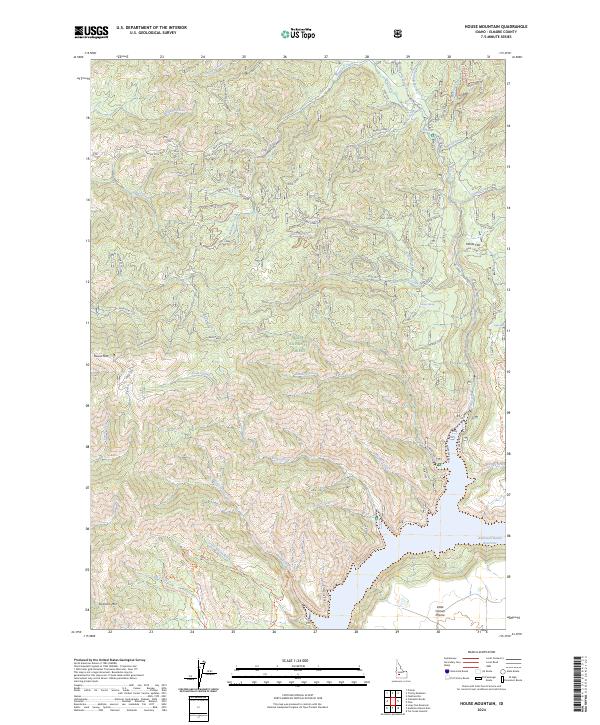
2024 Map of House Mountain
USGS Topo · Published 2024About this map
Boise National Forest dominates this landscape, where the high ridges of House Mtn and Granite Mtn look down upon a complex network of drainages and springs. The southeastern corner of the map is defined by the expanse of the Anderson Ranch Reservoir, where the shoreline meets the edge of the Little Camas Prairie. This area is characterized by its remote forest access, evidenced by an extensive system of forest service spurs such as Spur 101J and the Lake Creek Jeep Trl. Water sources are vital features in this high-elevation terrain, including Ice Springs, Daveys Spring, and Light Spring. The presence of the Prairie-Pine Road provides a primary corridor through the northern timberlands, connecting various creek valleys like Fall Creek and Meadow Creek.
Find a feature on this map
74 named features on this map. Tap any name to fly to it.
Don’t see what you’re looking for? This feature index may not catch every label — zoom into the map to look around manually.
Map Details
Editions of this 2024 House Mountain Map
This is the sole edition of this map. No revisions or reprints were ever made.
Other maps of this area

1892 · Mountain Home
USGS Topo · 1:125,000

1892 · Camas Prairie
USGS Topo · 1:125,000

1893 · Mountain Home
USGS Topo · 1:125,000

1893 · Camas Prairie
USGS Topo · 1:125,000

1894 · Idaho Basin
USGS Topo · 1:125,000

1894 · Rocky Bar
USGS Topo · 1:125,000

1955 · Hailey
USGS Topo · 1:250,000

1959 · Hailey
USGS Topo · 1:250,000

1960 · Danskin Peak
USGS Topo · 1:62,500

1962 · Hailey
USGS Topo · 1:250,000